


Charles Booth’s London
For The London School of Economics, Lancaster University and The British Library
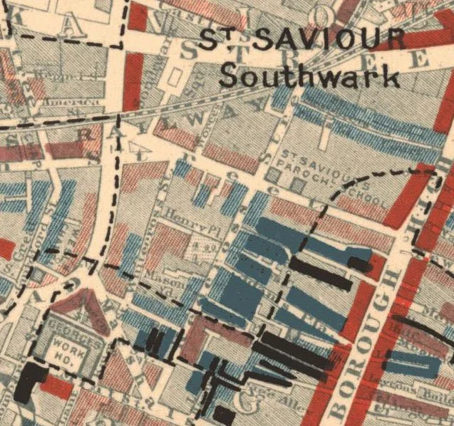
The Charles Booth Poverty Maps are a landmark social and economic survey of London that showed for the first time how much of London’s population was living in abject poverty. These maps sparked a revolution in social research and ultimately contributed to the development of the UK’s welfare state. And yet, not many people have seen or even heard of them.
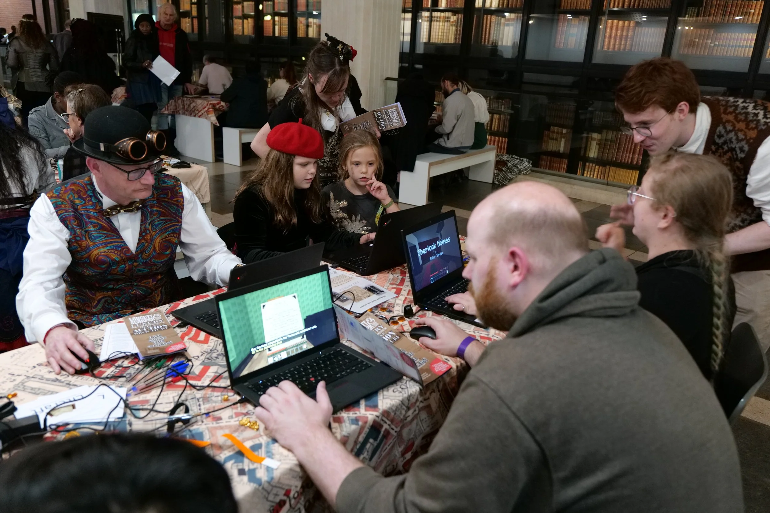
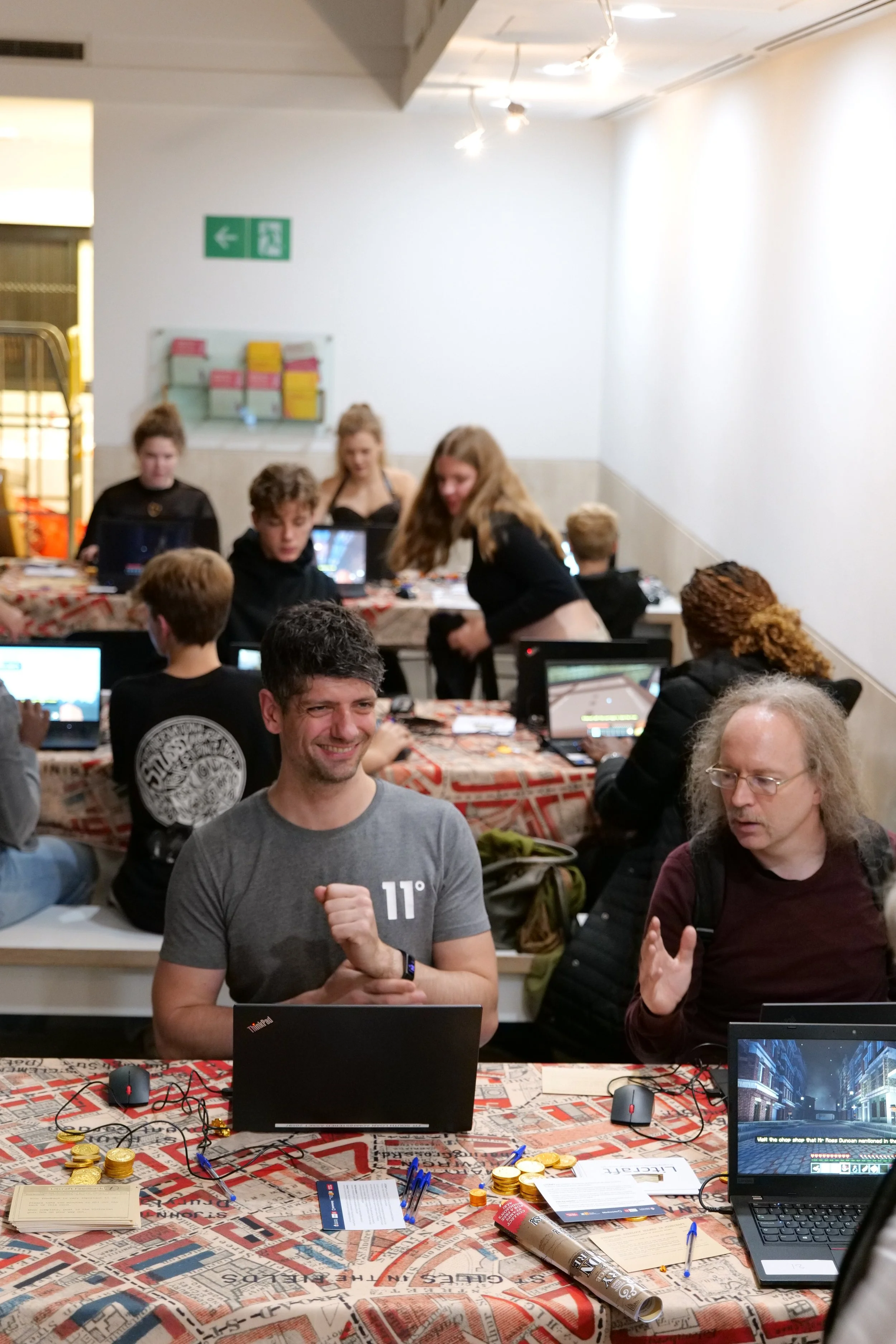
Working with researchers at LSE, Lancaster University and the British Library, I led the development of a digital twin of the Poverty Maps inside Minecraft. This digital twin allows players to walk through the maps, built at a human scale, and see of all the annotations and details made by their creator.
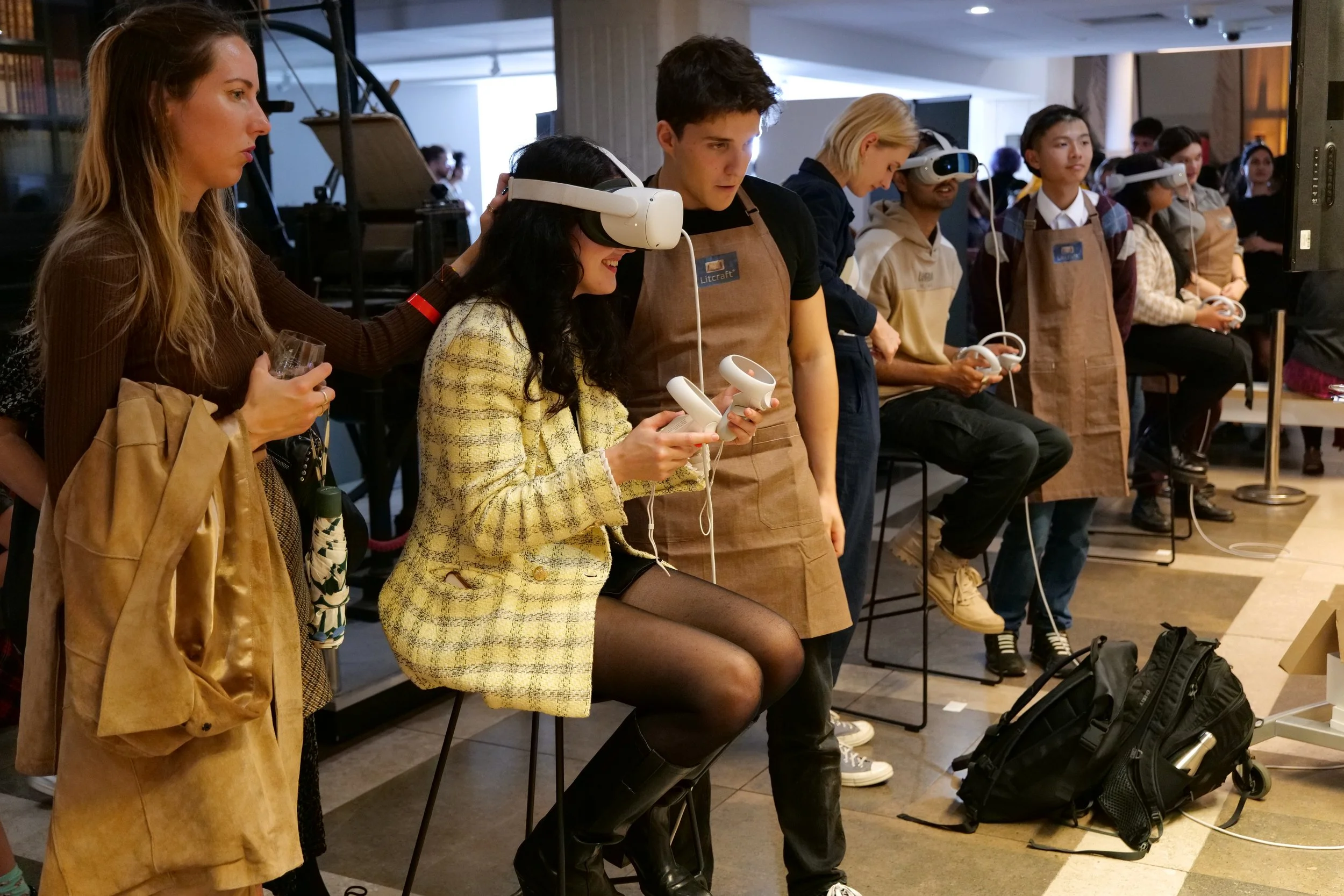
I also facilitated a late night event at the British Library where hundreds of people were able to try out the experience, including a specially made VR version.
My role: research / game design / project management / workshop facilitation